Deceptive RTK GNSS Module
Product Code: Mi29
Application: ANTI-JAMMING, JAMMING
Mi29 test development board, full system and full frequency points: GPS: L1/L2/L5, BDS: B1I/B2I/B3I/B2a/B2b, GLONASS: L1/L2, GALILEO: E1/E5a/E5b, QZSS: L1CA/ L1C/L2/L5, NavIC (IRNSS): L5; high-precision positioning GNSS module, RTK differential positioning accuracy of 0.01 meters, small size, lightweight, suitable for project research and development, drones, unmanned vessels, unmanned driving and robots, accompanied driving school, mapping and surveying, precision agriculture, landslide monitoring, mine detection, vehicle navigation, intercom, differential base stations and other industry application products. Default shipping configuration: M20 chip, full frequency multi-mode signal output, 4PIN terminal (1.25mm) interface, UART TTL level, 5V power supply, baud rate 115200, update rate 1HZ, NMEA-0183 protocol output. The cable directions of the two terminals in the picture are shown from left to right as VCC, GND, TX, RX and J2 from top to bottom as RX, TX, VCC, GND.
Technical Specifications
| Technical Specifications | |||
|---|---|---|---|
| Single point positioning vertical accuracy | 2.5 m RMS | ||
| Velocity accuracy | 0.03 m/s | ||
| Heading accuracy | 0.1 degree when antenna baseline length is 1 meter (this indicator is for m20D dual antenna) | ||
| 1PPS time accuracy | < 20 ns RMS | ||
| Start Time | Cold start | 30 seconds (Typical value) | |
| Warm start | 5 seconds (Typical value) | ||
| Reacquisition | < 1 second | ||
| Convergence time | convergence time | < 10 seconds (open sky) | |
| C1-8D GPS/GLO/BDS/GAL dual antenna heading GPS RTK... | Accuracy | Horizontal: 10 mm + 1 ppm Vertical: 15 mm + 1 ppm | |
| GPS/GLO/BDS/GAL | Operating mode | RTK, dual antenna, post-processing | |
| Serial. Ethernet, CAN | Heading | 0.2°/m RMS | |
| Land surveying. Mapping, UAV, Driving test, CORS, Deformation... | Frequency | 10 Hz | |
Related Products

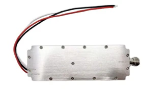
Portable Drone Signal Jammer
Portable_UAV-Jammer
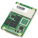
Detection Module
D384i
Handheld Signal Jammer
Handheld_Jammer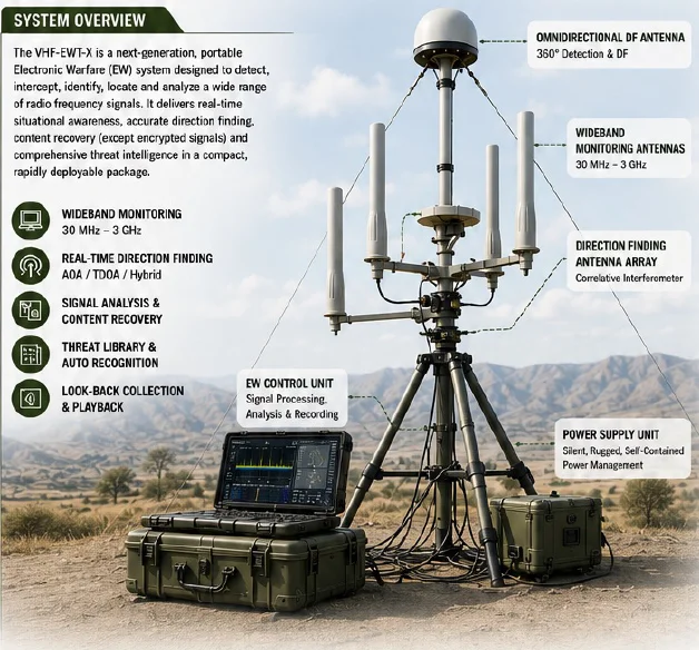
VHF/UHF PORTABLE MONITORING AND DF EQUIPMENT
VHF-EWT-X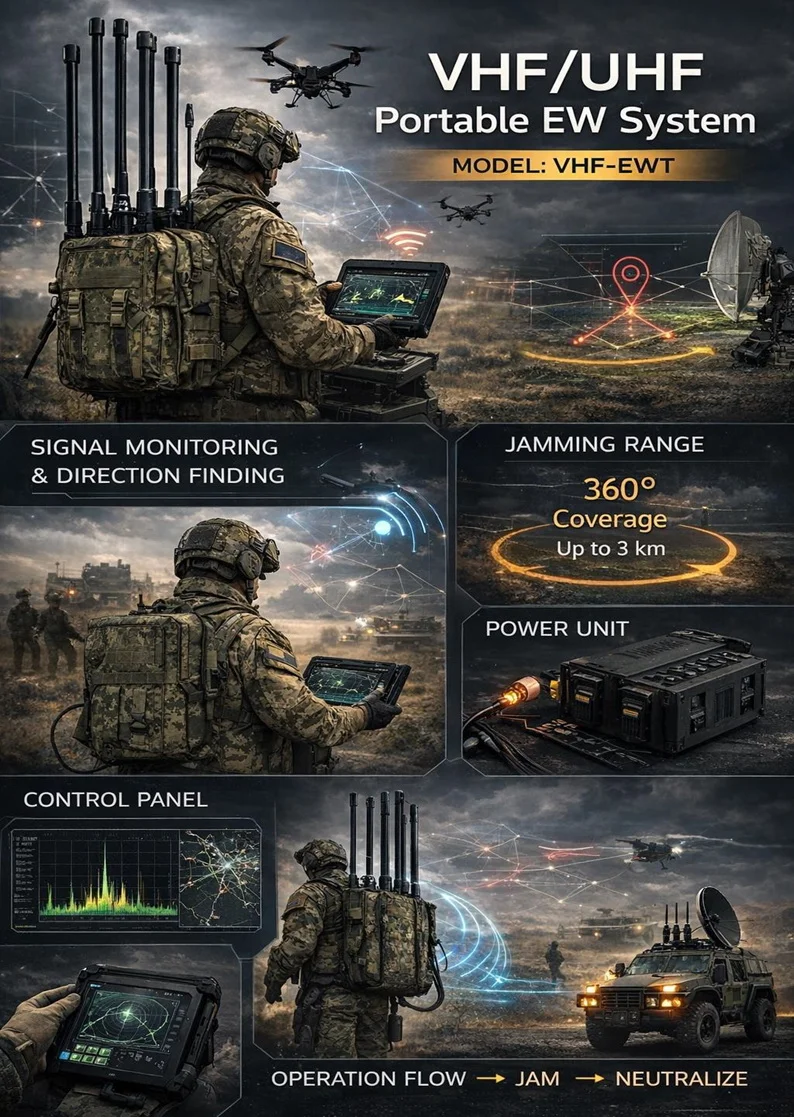
Portable Electronic Warfare System
VHF-EWT
Handheld FREQUENCY MIXING System
Hand_Hold_JAMMING_System
Automatic ECM System
Automated_ECM_System